Tracking down Ancient Trees using the Ancient Tree Inventory
I have photographed trees in one way or another since I first started in photography in my late teens, after completing an evening course at Hereford Art College in the 1970’s. Trees have often featured in my landscape or portrait work.
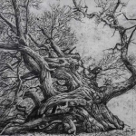
However, when I first started photographing the trees at Brampton Bryan Park last year, I didn’t really know what I was photographing. Yes, I was given an ‘orientation’ one afternoon by my artist friend Richard Gilbert, however I didn’t fully appreciate the complexity of old trees, including how they vary so much due to their species, location, life history and treatment by man, the weather and disease.
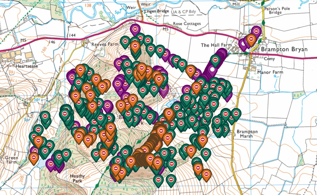
So I turned to the Woodland Trust’s website to find out more, and came across their amazing ‘Ancient Tree Inventory’. This inventory is displayed on a map of the UK with over 190,000 trees listed, although as they quite rightly say there are still thousands more trees to be added. The trees that have been recorded and verified are described in terms of:
- Species
- Form
- Standing or Fallen
- Living Status
- Girth
- Veteran Status
- Location
- Accessibility
- Surroundings
- Photos (sometimes)
The ATI really is a great tool to locate areas where there may be some photogenic ancient trees, as well as confirming what I have already seen and photographed. The map can be viewed as satellite images, Ordnance Survey maps or historic maps. So you can see the surrounding countryside or urban development and plan your shoot using public rights of way, access land or by gaining permission of the landowner.
The ATI is one part of the jigsaw puzzle that has started to drop into place during my quest to photograph these amazing natural wonders.


 Richard Gilbert